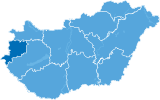
The directorate was established in 2002. The area of the National Park is almost 440 km². The headquarters of the Directorate is in Őriszentpéter.
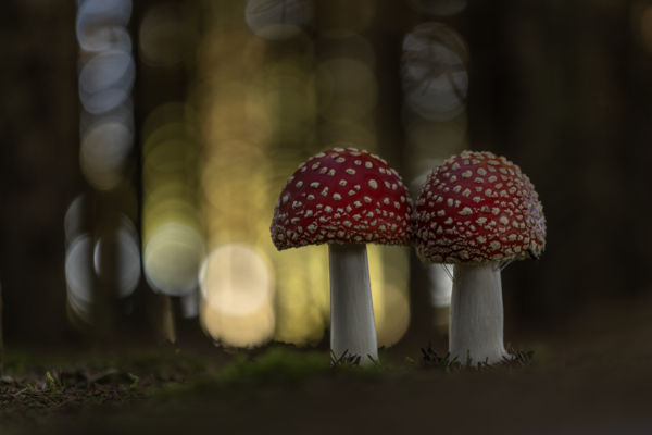
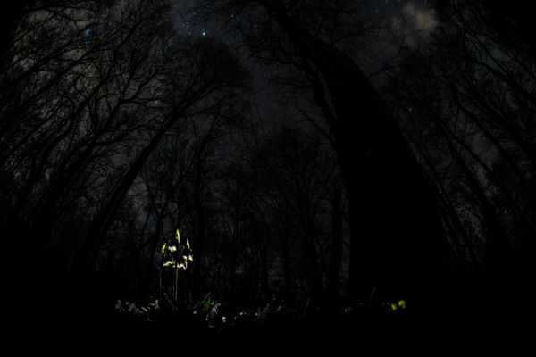
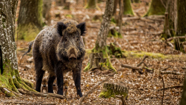
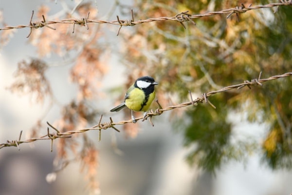
The National Park includes the Őrség and the Vend Regions, the valley of the River Rába (Inner-Őrség), the Szentgyörgy Valley and the surrounding areas. The Őrség is a special hill range covered by forests, shaped and crisscrossed by rivers and creeks where waterlogged valleys alternate with rolling gravel ridges. From the west to the east, the chain of hills levels out creating a plateau-like formation. The average height of the area is 250-300 metres above sea level.
The climate of the Őrség is a transition between Transdanubian region and the Alps, and a slight Mediterranean effect is also present. This favourable combination is the so-called subalpine climate. Its dominant factor is the significant amount of precipitation: the yearly average is between 700-950 mm, and therefore the region is rich in springs and creeks. Its main river is the Rába that borders the territory from the north. Another significant river is the Zala (Szala) that takes its course from the north of Szalafő and runs down the middle of the territory of the park dividing it into halves. We must also make mention of the River Kerka. There are several spectacular lakes in the area due to artificial dams. The surface of the national park is made up of the alluvial deposit of the three rivers: the Rába, the Zala, and the Old-Mura (the Kerka) as well as their tributaries.